
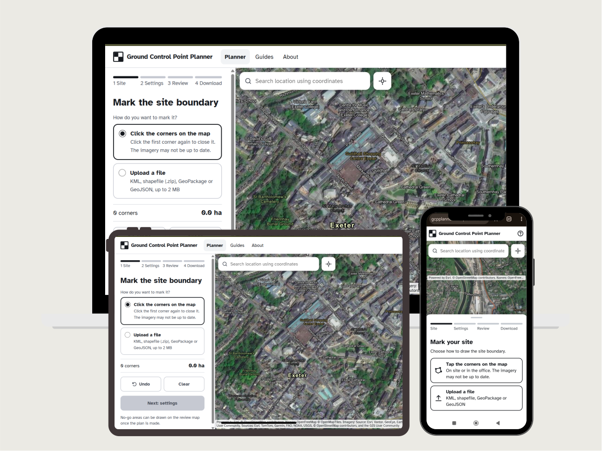
Ground Control Point Planner
I built Ground Control Point Planner to take the guesswork out of planning ground control for drone surveys. You mark your site by tapping its corners on a satellite map or uploading a boundary file. The planner then places ground control points and independent checkpoints, keeps them clear of buildings, water and your own no-go areas, and works out a walking route for each set.
It gives you the files you need on site: CSV files for your RTK controller in the coordinate system you choose, GPX routes, a GeoPackage for QGIS, a KML for Google Earth and a PDF Summary Report. The checkpoint layout is designed to ASPRS Edition 2.
It’s free, needs no account, and works on a phone or a desktop. Your site boundary is used to make the plan and then deleted.