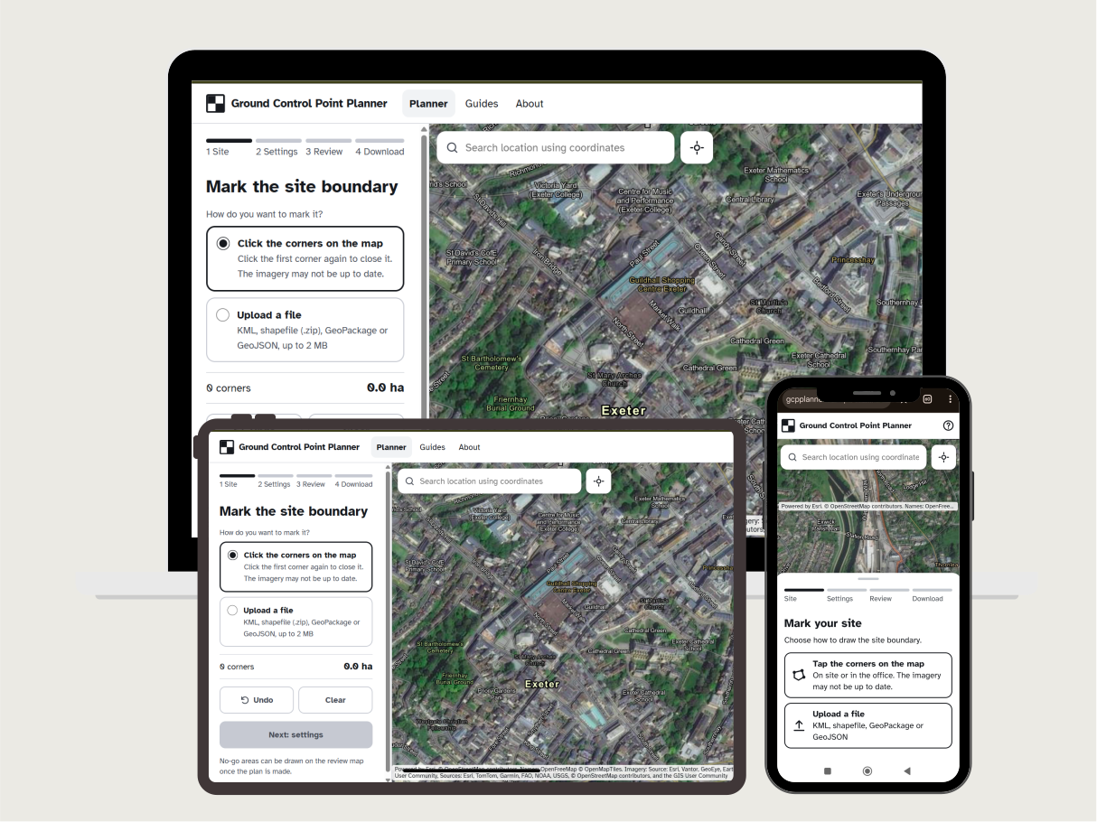
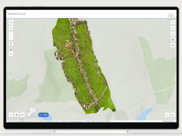
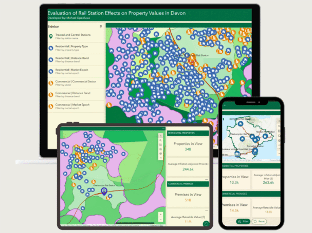
I help property developers, land buyers, and estate managers understand a site from three angles: what the drone survey shows, how the location affects its value, and what climate risks it faces.
I am a geospatial engineer with five years' experience in real estate consulting and an MSc in Geographical Information Science from the University of Exeter, United Kingdom.
I combine GIS, drone surveying, and spatial analysis to support housing delivery, construction, and sustainable development. I am also a passionate advocate for sustainable and affordable housing.
Over the years, I have helped more than 100 individuals and families to access genuine land and houses through thorough real estate due diligence, documentation, and training.